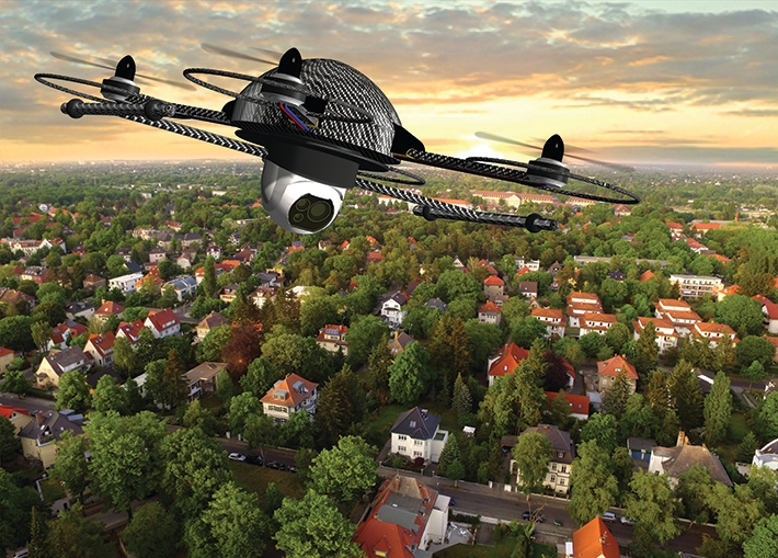
With unmanned aerial systems (UAS) starting to play a greater role in commercial real estate assessment, standards will help facilitate their adoption.
By David Walsh
Mar 05, 2024
In recent years, drones or unmanned aerial systems (UAS) have become a familiar part of daily life, probably most visible in the hands of the hobbyist in the local park who enjoys passing the hours zigging and zagging through the sky. However, a deeper dive shows that not only have the applications of UAS expanded greatly, they have also become big business.
From search-and-rescue to disaster management to delivery of consumer goods (and much more), the field of UAS has evolved far beyond the kid next door doing figure-eights in the sky. According to a study done by Grand View Research, the market for drones/UAS reached a value of $23 billion in 2023 and will grow to $57 billion by 2030, in line with other industry estimates.
In addition to the high-profile applications of UAS technology mentioned here, one emerging application of this ever-expanding technology is real estate assessment. Just as drones have changed the way first responders access a disaster scene and groceries are delivered, so too are they changing the process of inspecting and assessing commercial properties. From a safety standpoint, the considerations are as logical in real estate as they are in any other field: UAS can potentially eliminate the need to send a human to the roof of a building when not absolutely required. Or eliminate the need to explore the façade of a large building in person. They could even prevent a human from having to inspect a dangerous or enclosed space. From a practical standpoint, UAS inspection can enhance existing inspections by adding data and improving the overall process by making it more thorough and accurate.
READ MORE: A New Era for UAS Standards
Enter ASTM International’s committee on environmental assessment, risk management and corrective action (E50), which launched a task group in the spring of 2023 to develop the guide for drone assessments of commercial real estate (WK86230) – commercial being defined as everything that is not single-family residential (i.e., four or fewer units).
The guide will be designed to “reflect good commercial and customary practice for drone assessments of commercial real estate,” according to the task group’s December report. The report goes on to detail the developments that created the need for the guide, stating: “Commercial real estate assessments, including many associated with the standard guides and practices published by committees E50 and E06 (e.g., environmental and property condition due diligence), are increasingly incorporating drone flights to collect aerial imagery and, in turn, perform various analytics in lieu of, or as a supplement to, in-person observations. Drone reconnaissance of attributes such as roofs, facades, parking/paving, and land features can materially enhance data sets.”
Location, Location, Location
Even with the report’s language in mind, it may seem odd to choose E50 as the home for such a guide, especially with a committee as active as ASTM’s unmanned aircraft systems committee (F38) already in existence. However, according to Michael Sowinski, vice president of Terradex and task group co-chair, his committee was the natural place to host these efforts given existing E50 standards covering site assessments – and the industry’s trend toward using drones to support them. These include the well-known standard practice for environmental site assessments: phase I environmental site assessment process (E1527).
“Many of the most common commercial real estate assessment and corrective-action activities covered by E50 involve various types of visual inspections, such as phase I environmental site assessment; property -ondition assessments; continuing obligations; activity and use limitations (AULs); corrective action; and brownfield redevelopment,” he says. “For many reasons, ranging from safety to access to the inherent advantages provided by drone-captured imagery, the industry is increasingly incorporating drone flights to collect aerial imagery and, in turn, perform various analytics in lieu of, or as a supplement to, in-person observations.” He adds: “In my work, we definitely benefit from collecting drone imagery to monitor AULs over time.”
It was this close relationship between technology (UAS) and application (real estate assessment) that made E50 a more logical home for the task group’s efforts than might be assumed at first glance.

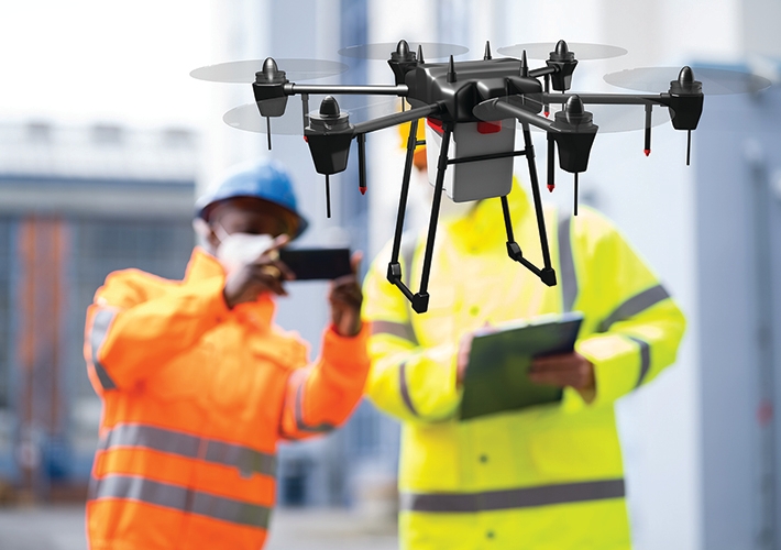
Drones are making real estate assessment safer, while enhancing data sets.
Guiding Site Assessment
After the proper committee for the work was determined, the task group moved on to determine the contents of the guide.
Jim Bartlett of Bureau Veritas chairs the subcommittee on real estate assessment and management (E50.02) and co-chairs the task group. “What we are finding is that people are using drones for inaccessible or very large site areas where you have to do a lot of reconnaissance and gather a lot of data – or for dangerous areas,” he says. “And then as an enhancement to a field assessment. So you have your normal field assessment taking place, and then you have drone data on top of that. And this can materially enhance assessment data sets and lead to improved decision making and project records.”
All of these factors led to the development of WK86230, the initial contents of which are being shaped by a stakeholder survey conducted in the summer of 2023.
Bartlett talks about the thinking behind it. “When we initiated this process, we knew that the best way to develop a standard – particularly within E50, dealing with assessments where you have users and producers and other interests with strong opinions – is to figure out what’s going on in the market right now,” he says. “We wanted to reflect current practices and thought the best way to determine that would be to go out to the industry with a survey, and that’s what we did.”
The process of creating the survey was composed of four steps: Developing the questionnaire; identifying participants (e.g., task group members, committee members, and market influencers); identifying a platform (Survey Monkey); and compiling and analyzing results.
READ MORE: 6 Standards Making a Difference for the Environment
The results provided information that will inform not only the current guide but future standards work as well, with some of the results being particularly notable. In response to the question “What are the primary use cases for which you currently utilize drone imagery in assessments?,” the top two answers were “rooftops” and “façade assessments.” These responses become more telling when combined with the results of the next question: “In your opinion, what are the top three factors contributing to the use of drone imagery as an alternative to traditional assessment methods?” The top two factors identified included “access to inaccessible areas” and “safety considerations,” which point to safety as a driving force.
Future Work
According to Sowinski, with drones becoming such an integral part of modern real estate assessment, the immediate direction for future work of the environmental assessment, risk management and corrective committee is clear: incorporate this guide into existing E50 standards or those in progress. “In the future, we think it’s likely that other E50 standards will eventually be updated to reference the drone standard and provide even more use case-specific considerations.”
Bartlett says one example of this work of incorporating UAS into standards is the proposed guide for construction progress reporting and monitoring (WK88985), which covers inspections that may be needed throughout the building process. “If you were monitoring a site over time to look at construction progress, you could use drones to capture key milestones.” Still another example would involve environmental monitoring. “We have standards in E50.02 related to continuing obligations and monitoring of clean-up sites, and drones can be used to support that.”
However, long-term, the future of drone-related standards work in E50 will largely involve collaboration with the unmanned aircraft systems committee, to whom the responsibility for setting flight specifications will fall. “Our group is focused on the collection and reporting of data, not the aeronautic or regulatory requirements that come with that” says Bartlett. “That’s where F38 comes into play. We [E50] will be referring to F38 a lot because they deal with the details related to airworthiness, flight operations, and operator qualifications.”
With committee meetings coming up in spring and fall of 2024, Bartlett is hopeful but realistic about a timeline for the guide. “I put forth a very ambitious schedule for this. But if all goes well, realistically we would have the standard guide out to ballot in the 2025 timeframe.”
For further information or to join E50, please contact staff manager Molly Lynyak at
mlynyak@astm.org. ■
March / April 2024

